


GIS Portfolio
Prototypes and Experiments
The world of Digital History is ever changing and experimentation with new technologies and methods is a major part of keeping current in the field. These are examples of my use of programs like Sketch-up, Google Earth, and ArcGis for more inventive purposes.
CRM and Teaching Tools
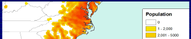
Occasionally, I get inspired to represent data that is obscure or poorly represented in available maps and diagrams. These are a collection of maps and a few Cultural Resource Management projects I did for use in class..
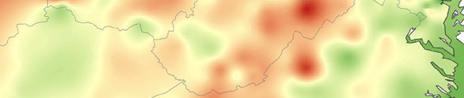
GIS Writing Samples
Maps must always be supplemented by textual context and explanation, the following papers are examples of my writings in GIS.
Contracted Maps
In an effort to practice historical cartography, and to assist friends working on other projects, I have produced a series of maps some for dissertations, and some for publication.